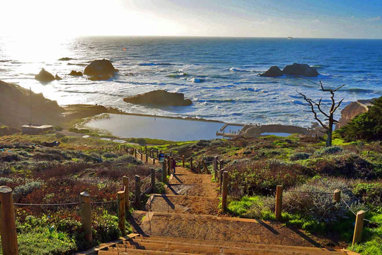
As a seasoned California resident and travel writer, I’m happy to be your guide on this adventure through Lands End Trail!
With an intimate familiarity with the Golden State’s nooks and crannies, I’ll lead you through the untouched beauty of this awesome trail. No fluff, no frills – just my expert insight and precise directions to make the most of your journey!
This coastal trail is where the untamed California coastline meets the vast Pacific Ocean. I can’t wait to throw on my hiking boots, pack, and take you on this invigorating hike along the bay!
Lands End Trail is a 3.6-mile (5.8 km) loop that takes about 90 minutes to complete. It has many notable stops along the way, so I’ve included a map here to help you get your bearings.
Location
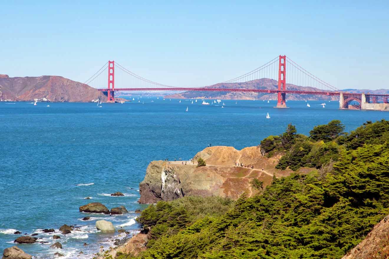
Lands End Trail is tucked along San Francisco, on California’s coast, tracing an incredible route along the rugged coastline of the city.
This California coastal trail is one of the best hikes in the Golden Gate National Recreation Area and grants opportunities for wildlife viewing, including migrating birds and whales.
Beginning at the northernmost point of Ocean Beach, the trail extends south, offering amazing views, rocky cliffs, and the iconic Golden Gate Bridge. The trail provides access to multiple lookouts for stunning sunsets and panoramas!
The trail’s proximity to downtown San Francisco makes it super popular for a nature escape without venturing far from the city. If you still haven’t decided on where to stay, I highly suggest staying in these areas and hotels in San Francisco.
Enjoy and explore Lands End Trail’s geological and ecological diversity, including hidden beaches, historic ruins, and a variety of plant and bird life!
Directions
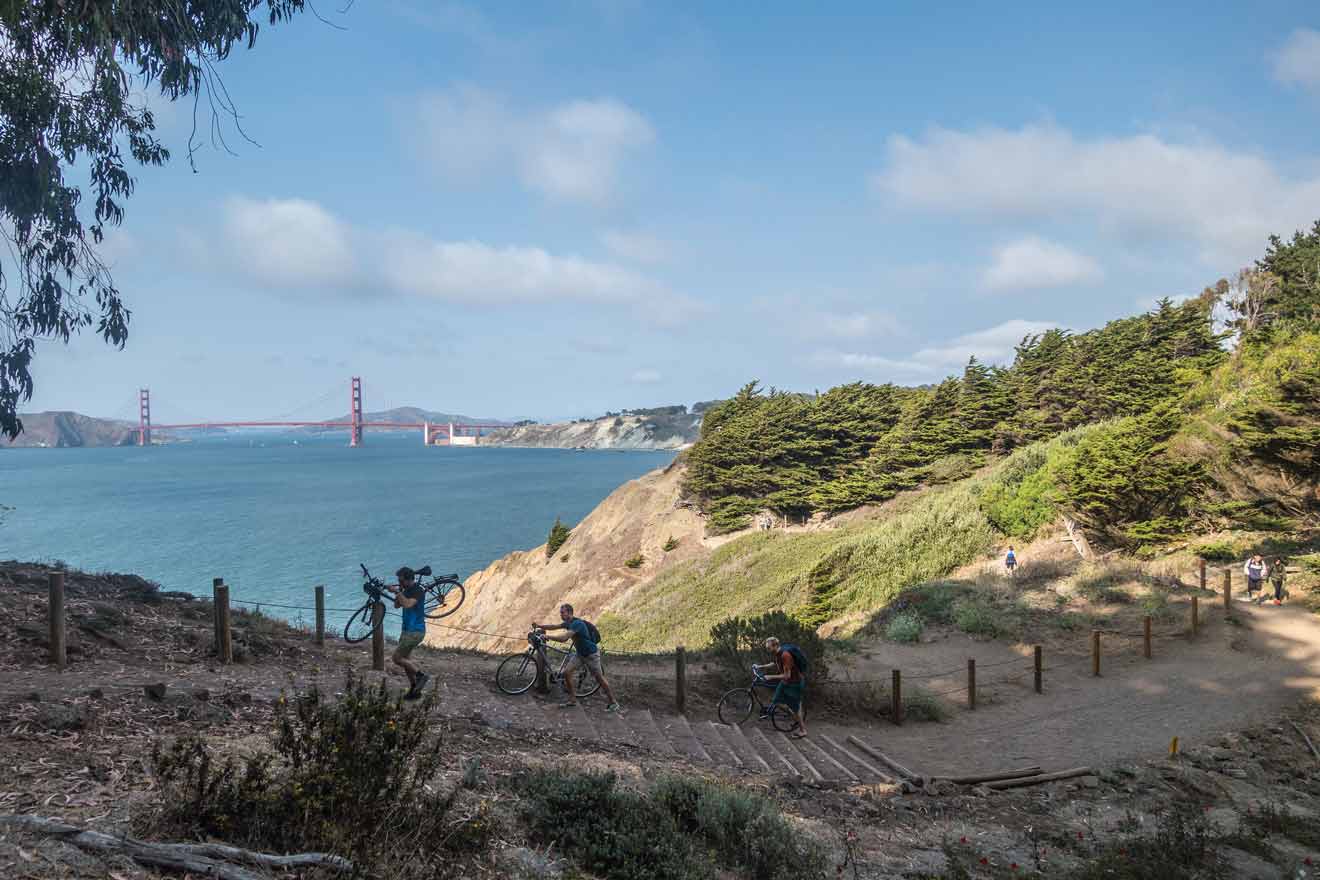
Reaching Lands End Trail from San Francisco is pretty convenient since it’s so close to downtown San Francisco. You’ll have several transportation options while visiting:
- By car – if you’re traveling by car, make your way to the intersection of Point Lobos Avenue and El Camino del Mar. This is where you’ll find the main trailhead. If you’re staying in downtown San Francisco, your drive time will be about 20 – 30 minutes. Keep in mind that parking can be limited, especially during busy times, like summer and holidays. Arrive early to secure parking!
- By public transit – San Francisco actually has some decent public transportation, including buses and trains. Bus routes that will get you closest to the trailhead are 18 and 38 lines, and it will take about 1 hour to arrive.
- Walking or biking – if you’re staying close enough, you might even start your hike at your hotel! The Lands End Trail is accessible from various entry points, so you can definitely make it here on foot or bike! Biking from downtown San Francisco will take you about 40 minutes.
- By ride-sharing – if you take an Uber or Lyft, set your destination to the intersection of Point Lobos Avenue and El Camino del Mar. It should cost about US$35 and take no more than 30 minutes.
Length, time and trailheads
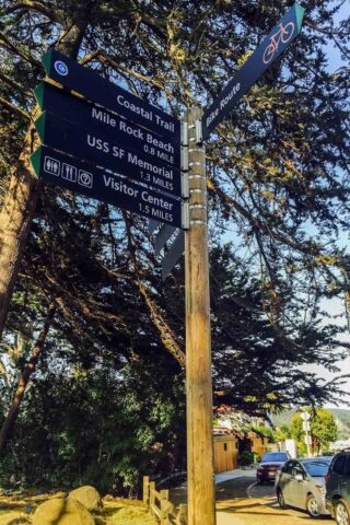
Lands End Trail is a 3.6-mile (5.8 km) loop and it will take approximately 1.5 hours to complete without stops.
As we’ve discussed, there are multiple spots to access Lands End Trail. Below, you’ll find a map and breakdown of all of them.
- Point Lobos Avenue Trailhead – this is the main trail to the Lands End Trail. It’s located at the intersection of Point Lobos Ave and El Camino del Mar.
- Merrie Way Parking Lot – a designated parking area that provides access to the upper section of the trail. It’s a convenient starting point for those who want to explore the Lands End Trailhead’s northern segments.
- Sutro Heights Park – an entry point near Sutro Heights Park offers access to the Lands End Trail and provides stunning coastal views.
- Fort Miley – the trail can also be accessed from Fort Miley, with decent parking.
- Lincoln Park Golf Course – adjacent to the trail, this golf course offers access to the trail.
Parking
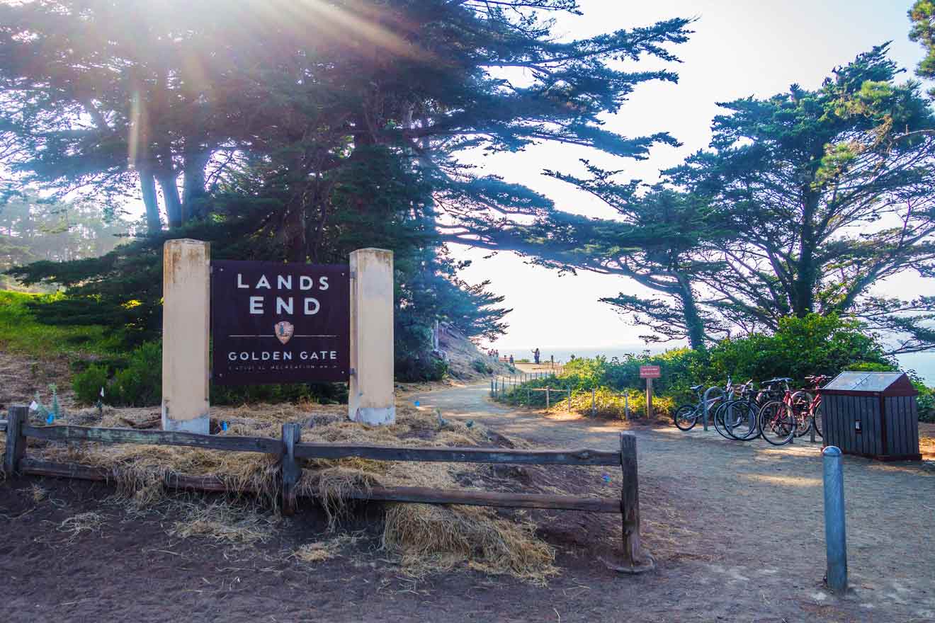
Parking lots are available near the trailhead, but it’s limited! And the trail’s popularity makes it even tougher to find a parking spot!
Arrive early, or you’re pretty much out of luck! Like, before the sun rises! 🌅
There are multiple entry points throughout the neighboring areas, and street parking is available, but be conscious of car break-ins, and do not leave valuables in the car.
Essentials

Specific essentials to bring on this San Francisco hike will depend on the length of your hike, how long you plan on spending on the trail, and how fit you are for the challenge. Here are some general ones that I recommend bringing:
- Water and snacks
- Comfortable footwear
- Weather-appropriate clothing (dress in layers)
- Trail map or GPS
- Phone and portable charger
- First Aid Kit
- Camera
- Identification
- Cash
- Binoculars
- Insect repellent
- Trekking poles
- Respect for nature
Stops along the trail
The Lands End Trail offers so many incredible stops along the way to enjoy the diverse beauty of the coastline.
1. Sutro Baths
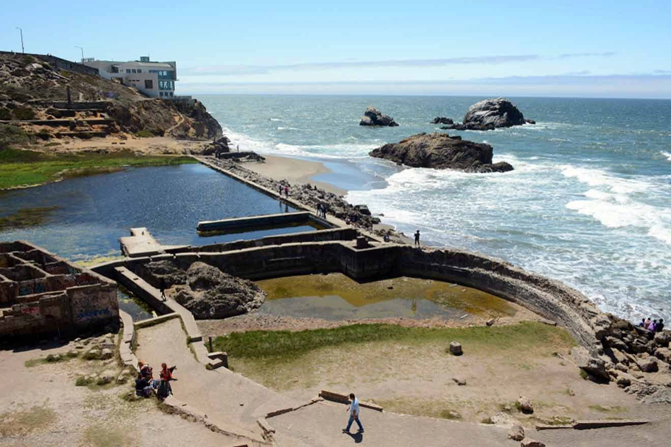
Adolph Sutro, a self-made millionaire, developed these awesome Sutro Baths in 1894 which became an important part of San Francisco history.
This stop features the historic Sutro Baths ruins and the Lands End Labyrinth, which, sadly, was destroyed in 2021 by vandals.
Once a grand saltwater swimming complex, the Sutro Baths are now preserved as captivating ruins overlooking the ocean.
Explore the remnants of this once-majestic structure while taking in breathtaking views of the coastline.
2. Point Lobos

Point Lobos is another prominent highlight along the Lands End Trail, allowing you fantastic panoramic views of the Pacific Ocean and the rugged California coastline.
Point Lobos is the perfect vantage point for observing the dynamic coastline that drops dramatically into the sea.
Check out the gigantic rocks and coastal plants that make up the area’s unique ecosystem and add to the attraction of various bird species and marine life.
3. USS San Francisco Memorial
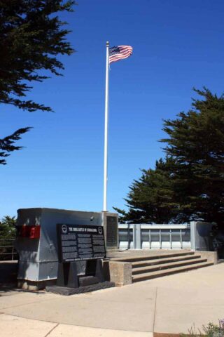
Another amazing stop along this iconic Bay Area trail is the USS San Francisco Memorial if you’re into sunken ships.
This tribute commemorates the bravery and sacrifices of the crew members of the USS San Francisco, a naval vessel that played a pivotal role in World War II.
The memorial stands as a poignant reminder of the historical significance of the area and allows you to take in the true history of this region while also overlooking the incredible vistas of the bay.
4. Lands End Point
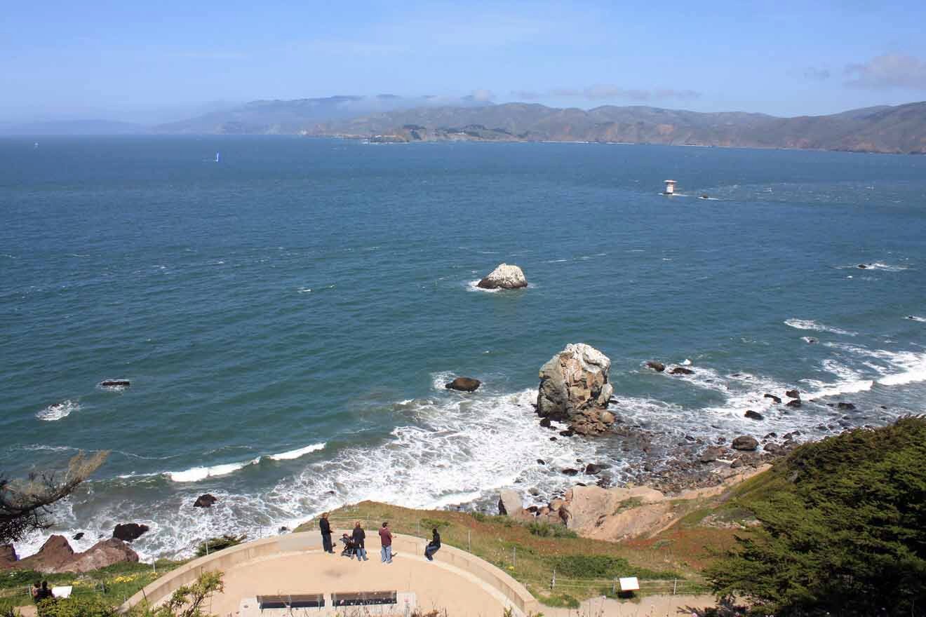
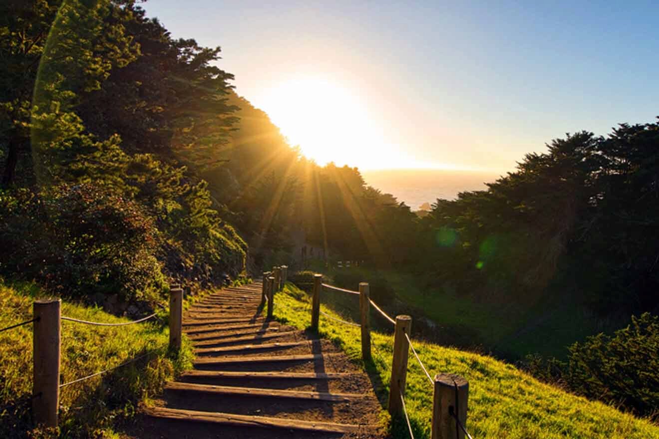
Sunset anyone? Lands End Point is one of the best spots to witness breathtaking sunsets over the Pacific Ocean.
Another stop along the Lands End Trail, the Lands End lookout, reveals panoramic views of San Francisco Bay.
The tranquil and serene ambiance of this spot, combined with the oranges and pinks of a West Coast sunset, creates an unforgettable experience.
5. Mile Rock Beach
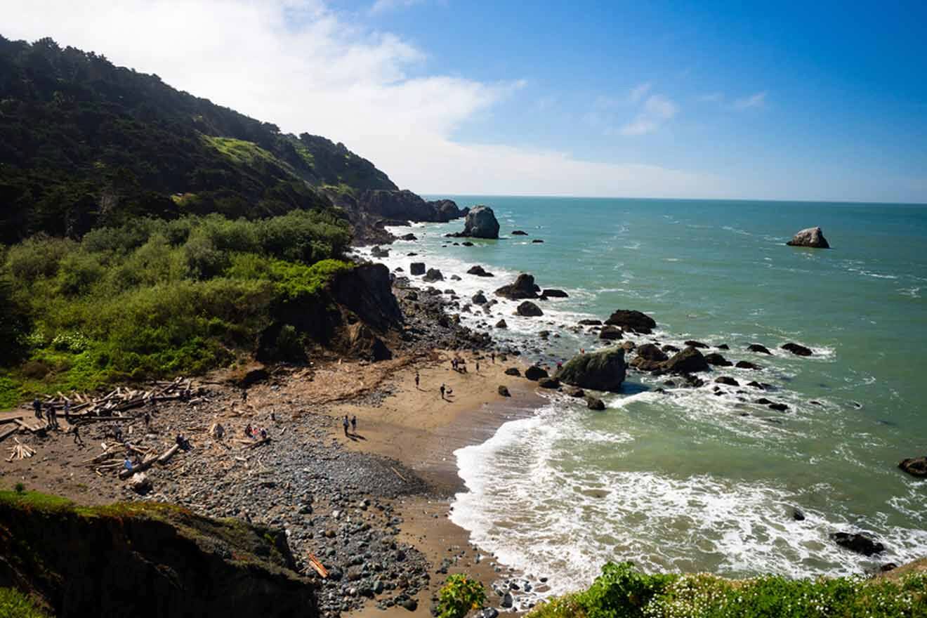
You know I’m obsessed with a good beach! 🏖️
Mile Rock Beach is a highlight along Lands End Trail that provides relaxation and killer views. This quiet cove is picturesque and welcoming – the perfect spot to take in the Bay’s vista.
The beach is nestled within a beautiful, scenic inlet, flanked by towering cliffs that provide a sense of VIP-type seclusion.
6. Eagles’ Point Overlook
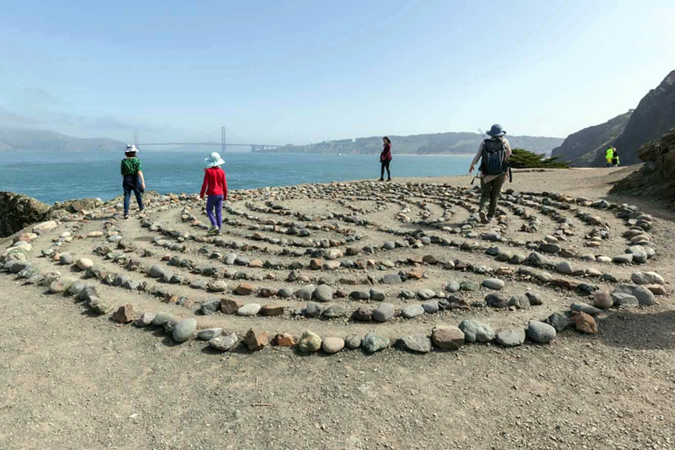
With views like these, you’ll want to stop at every overlook and lookout point you can!
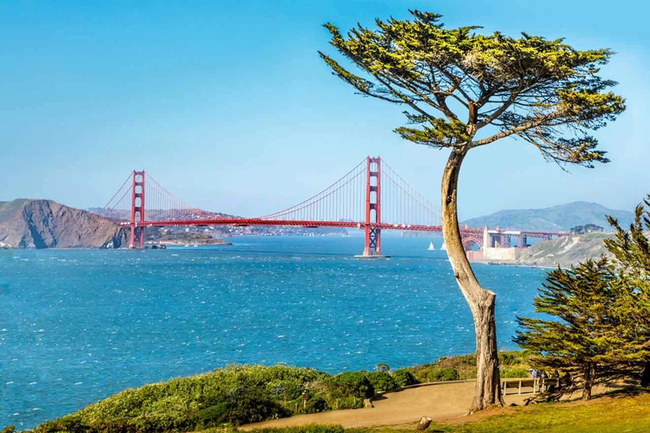
Eagle’s Point Overlook, located on the northwest corner of the Lands End Trail, offers breathtaking views of the Golden Gate Bridge and the Pacific Ocean.
Accessible from the upper trail, this stop is a must-see for anyone who wants to snap or take in the crazy, gorgeous views!
You’ll find lots of parking at Merrie Way parking lot on Point Lobos Avenue just above the Cliff House, and you’ll be able to access both Sutro Baths and Eagle’s Point Overlook.
Along the way, the trail leads hikers through serene forests and coastal cliff paths. Not to mention, the iconic Golden Gate Bridge comes into view at this lookout point!
Close by attractions and cool detours
Apart from being a popular attraction itself, there are also some other notable ones nearby that you can check out if you have the time.
1. Legion of Honor Museum

This museum is definitely worth the visit! The Legion of Honor Museum is a stunning neoclassical building that overlooks the city of San Francisco and the Golden Gate Bridge.
You’ll love the extensive collection of European art spanning from ancient times to the 19th century.
Its impressive array of paintings, sculptures, and decorative arts will help you understand the artistic heritage of diverse cultures and historical periods.
PRICE: US$20 per person
2. Lincoln Highway
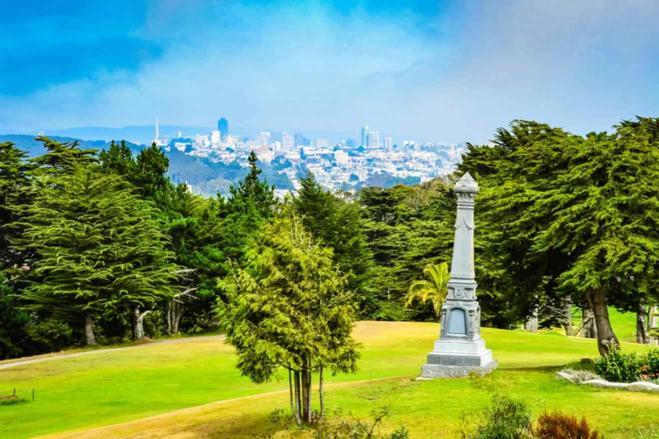
This historical roadway stretches across the United States, connecting the East Coast to the West Coast.
Lincoln Highway is the first ever transcontinental highway, stretching from Times Square in New York City to Lincoln Park in San Francisco.
Check out the nostalgic landmarks, scenic vistas, and cultural treasures all along the way – it’s such an awesome glimpse into the past.
3. Golden Gate Park

How can you visit the Bay without checking out Golden Gate Park?
Stroll through lush gardens like the Japanese Tea Garden, or explore museums like the de Young Museum (tickets from US$20/person) and the California Academy of Sciences (tickets from US$40/person). This park is the perfect mixture of culture and nature.
If you want a great way to save time and explore the entire park, try this segway tour!
TOUR PRICE: US$90 per person
| 📏 Length: | 3.6-mile/5.8 km loop |
| 💸 Best view: | Eagle’s Point Overlook |
| 🏆 Best nearby attraction: | Lincoln Highway |
| 🌟 Best for sunset: | Lands End Point |
FAQs about Lands End Trail
🚶 How long does it take to hike the Lands End Trail?
The Lands End Trail is a 3.6-mile (5.8 km) loop that takes about 90 minutes to complete.
😅 Is Lands End Trail a difficult hike?
The Lands End Trail is considered a non-strenuous hike, just be sure to prepare for the journey!
🌄 Where does Lands End Trail begin?
There are many entrances to Lands End Trail, the most popular being by the visitor’s center parking lot just up from Cliff House or in the Sea Cliff neighborhood off of El Camino del Mar (near the Lincoln Golf Course and Legion of Honor).
⏰ What time does Lands End Trail close?
Lands End Trail closes at 5 PM.
Conclusion
No matter if you’ve never hiked a day in your life or you have a membership at REI 🤣, Lands End Trail is the perfect way to spend a day in Bay Area. With the rugged coast and the Pacific Ocean right at your fingertips – this scenic hike is unforgettable.
Just don’t forget to dress properly, pack suitably, and get your tickets ahead if you plan on visiting any attractions nearby.
What was your favorite lookout point? Did you spot any gray whales? No matter which detail of your trip, I FOR SURE want to hear about it. Leave a comment below. 🙏
Aloha & safe travels,
Hayden G.
Pin it for later!
Pin it for later!

[ad_2]
Source link
